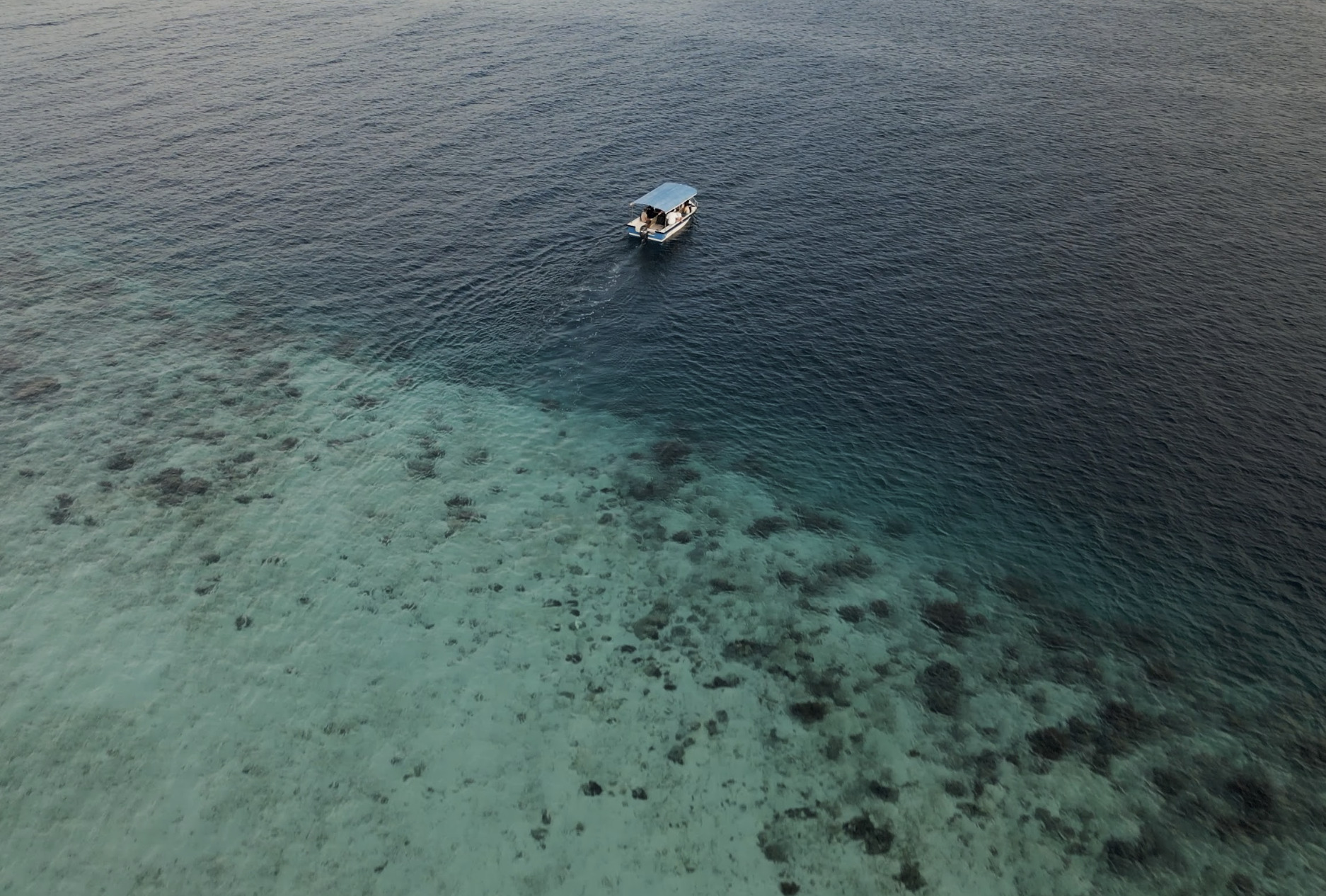
A fleet of drifting instruments in the ocean serving ocean monitoring and protection? Argo floats.
Edited by Laura Bastide and Florina Jacob
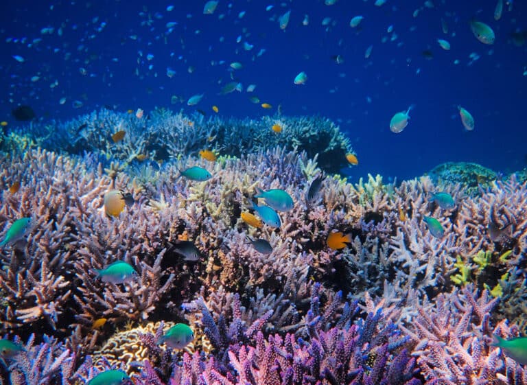
Argo floats are an network of in-situ* drifting devices in the ocean, providing reliable and standardised data on the state of the ocean. This quality and easy-to-access data feeds numerous ocean models* and analysis that can support coral reef protection. Ocean temperature and pH, two key variables for the health of corals, can be monitored in-real-time at a given location by Argo floats. Later, the data is processed by large computing models to forecast potential heat waves and other events impacting marine species.
How do Argo floats work?
Argo floats are measurement instruments that drift with the ocean currents and move up and down between the surface and a mid-water level (max depth of 2000m) to collect data on temperature, salinity, water velocity, amongst other variables. Each time an Argo float finishes one of its observation cycles, it transmits its measurements via satellite to data assembly centres, and the data becomes available shortly after (Fig 1).
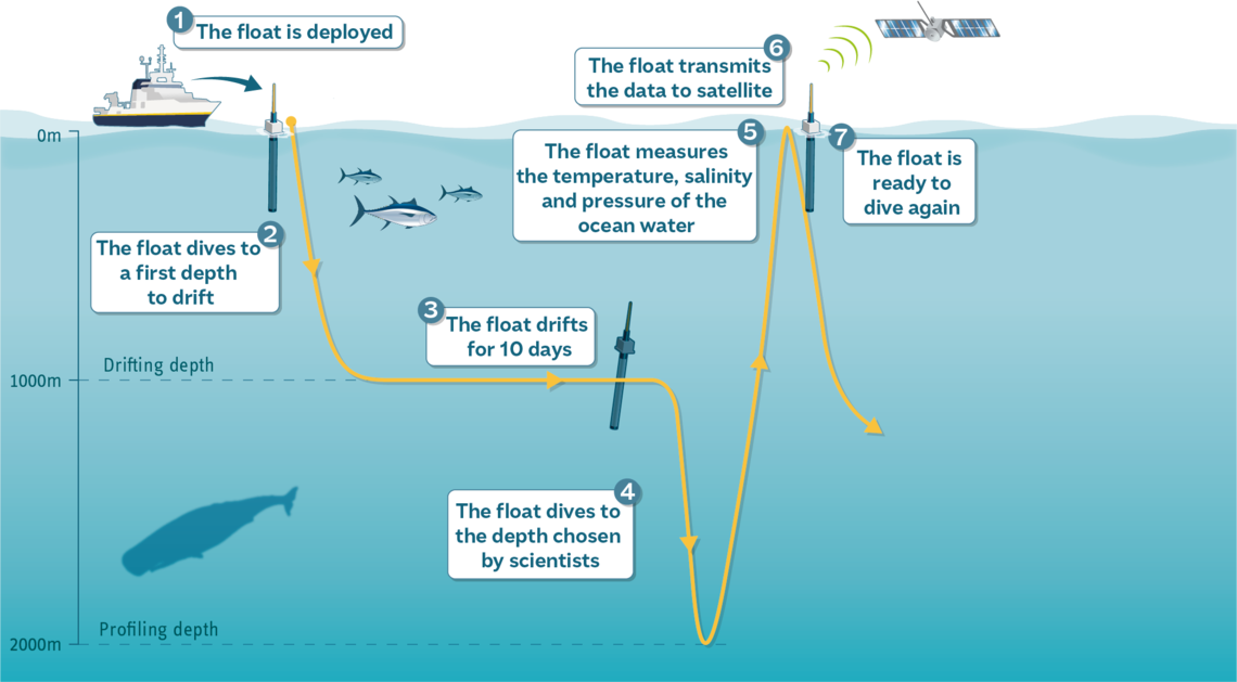
Figure 1. Diagram on the functioning of Argo floats © Thomas Haessig.
The geographical position of each in-situ* device is shown in the Copernicus Marine Service website, through the in situ data dashboard (photo below).
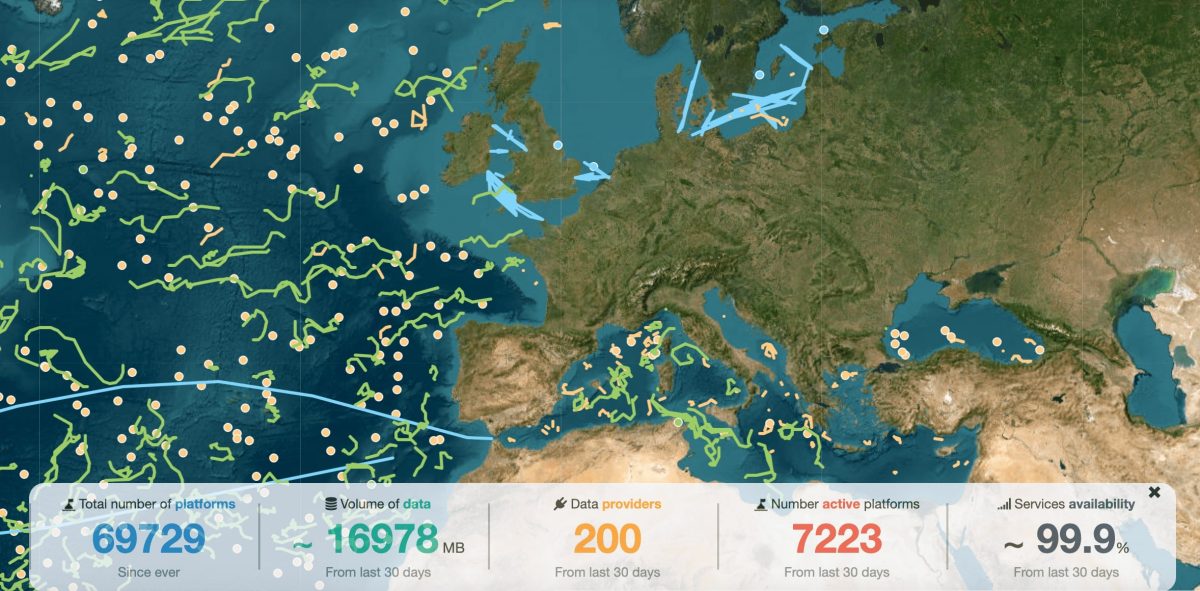
Figure 2. Example of an image on real time of the argo float trajectories, available on Copernicus Marine Service portal.
Once Euro-Argo float’s data has passed quality control, it can be used directly by the several actors. To do so, Argo’s data has to be converted into a standardised format which is the mission of the European Marine Observation and Data Network (EMODnet), an initiative funded by the European Union. EMODnet assembles, harmonises, and standardises data so that it can be used consistently by different actors, from science to industry.
The Argo database is available through the Copernicus Marine Service Data Store catalogue for everyone who wishes to explore it, as well as study cases.
How can it be used to support ocean monitoring and coral protection?
In-situ* data is key to building ocean models* that will help understand oceans’ functioning. Field-based Argo data is combined with satellite data to describe the inner layers of the ocean and to predict how the state of the ocean can evolve. Copernicus Marine Service is implemented by Mercator Ocean International. It integrates the two types of data to build their predictive ocean models*, an important tool to better understand our oceans’ role on climate, marine transport, fisheries, ocean security, renewable marine energy and so on.
Such ocean models can support coral conservation work around the world. They provide accurate information on the ocean’s functioning, and therefore play an important role when doing the reanalysis of past trends, or in future predictions. It can help us understand how long and mid-term temperature and acidification trends have impacted conservation efforts, for instance. The increase by 15% of the ocean acidity between 1985 and 2021 (Figure 3), helps understand the growing stress upon coral reefs and their vulnerability to bleaching events, or the increased fragility of their skeletons.
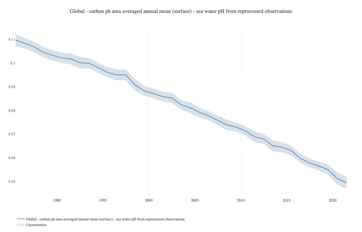
Figure 3. Trend of annual global mean of water pH (surface) between 1985 and 2021. Source: Copernicus Marine Service.
Argo floats’ data can go up to 2000 metres deep, contributing to the description of past and present trends of ocean variables on areas of more difficult access. This can be useful for instance in the study of deep-water corals, predicting how these ecosystems will be impacted by climate change in the future. In fact, over 2005–2019, the global ocean heat content rose by 1.0 +/- 0.1 W/m² in the upper 2000 metres, meaning a yearly heat absorption of 15 times the world’s total energy in 2022!
The data and products provided by the Argo floats’ network and its data providers is essential for the understanding of the ocean’s functioning, and therefore for the management and conservation of marine ecosystems and resources.
Vocabulary
*In-situ: meaning that the data is collected in the same place where the device is located (in the ocean, and not by satellite, for instance).
*Ocean models: A numerical model (run on a computer) to carry out calculations to predict ocean behaviour. These models solve physical equations that describe the dynamics of the ocean in response to driving forces and can predict its evolution over time. The models are improved by assimilating actual satellite or in situ measurements (Copernicus Marine Service, 2024).
Ces articles pourraient vous intéresser
JOB DESCRIPTION: Scientific & Administrative Project Manager – Coral Restoration
Job Title: Scientific & Administrative Project Manager – Coral Restoration Employer: Waka Eling Semeton Foundation Work Location: Indonesia, Flores, Labuan Bajo Contract Type: Fixed-term –…
20 May 2025
Donor spotlight : Charline Auvinet
Tell us a bit about yourself 🙂 After graduating a few years ago, I’m now a crime fiction editor. In this job, I have discovered…
17 January 2023
What about the impact of COP27 on marine biodiversity and corals?
Every year, the United Nations holds a two-week conference (COP, as Conference of the Parties) aimed specifically at taking stock of global progress made towards…
14 December 2022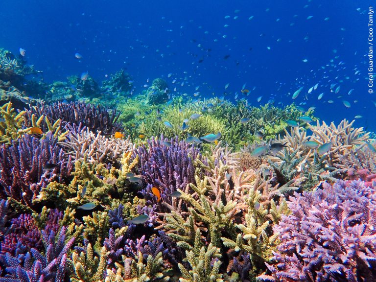
Are super-corals really a super solution ?
Written by: Richard Singhroy Acknowledgements to Dr. Emma Camp While reefs are adaptable ecosystems, they are struggling to adapt to the quick changes brought…
29 November 2022